
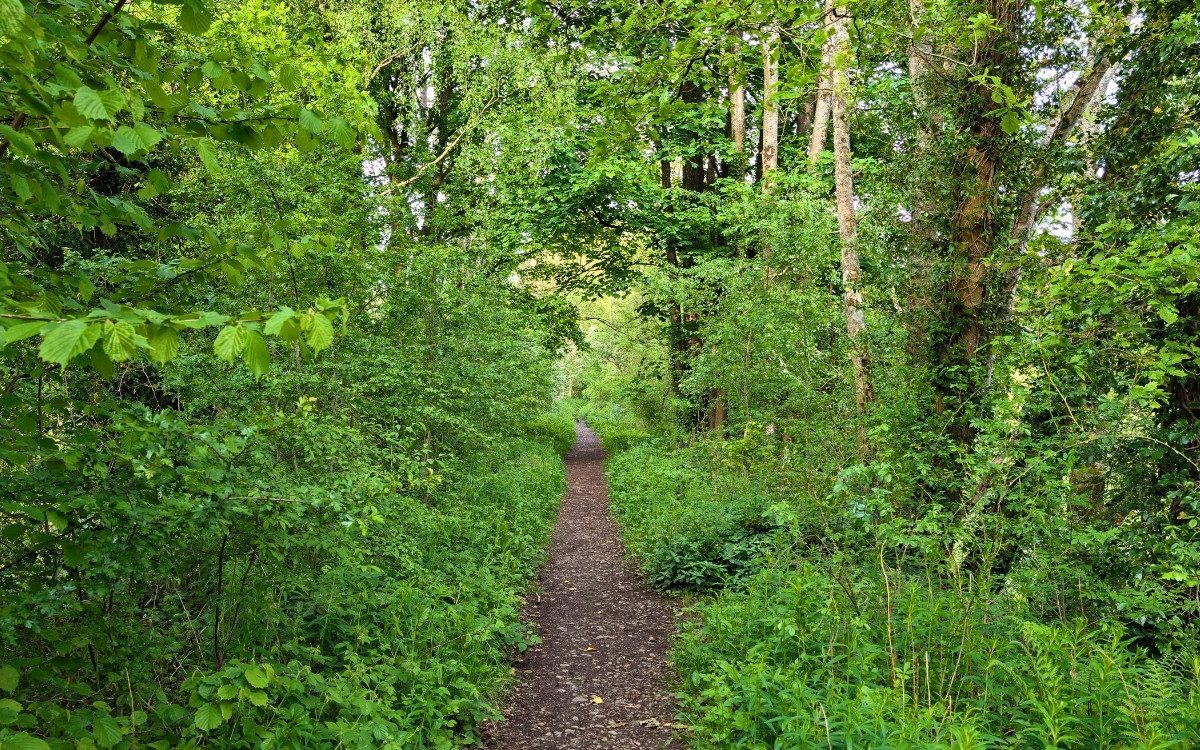
Discover 4 quiet walks near Keswick to get away from the crowds. Keswick is undeniably the beating heart of the Northern Lake District, but during the peak summer months, the main trails and lakeshores can get a little busy. If you are looking to step away from the bustling crowds and enjoy the quieter side of the fells, you don’t have to travel far.
Here are four fantastic, peaceful walks right on Keswick’s doorstep, featuring hidden historical sites, tranquil wetlands, and the perfect local spots for a post-walk pint.
1. A Short Stroll Down the Old Railway Line
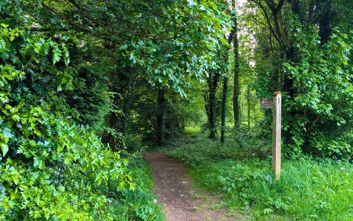
If you want a flat, quiet walk near Keswick, this one’s perfect. It’s a lovely stroll down the old railway line, loaded with local history and fantastic views of the fells. This short section of the old railway line is a hidden gem just on the edge of town.
- Starting Point: Crosthwaite Road Car Park
- Destination: A66 Junction (Linear return route)
- Distance: Approx. 2 miles (3.2 km) return
- Time: 1 hour
- Difficulty: Easy
- Terrain: Paved pavements and flat, solid footpaths
The Route:
Start by parking at the Crosthwaite Road car park. Turn right out of the car park onto Crosthwaite Road and walk past the charming Mary Hewetson cottage. Keep going past The Pheasant Inn, stay to the left-hand side of the road, and cross the Vicarage Hill junction.
Next, as you walk towards the roundabout, keep an eye out for a track on your left. Take that track, and you are officially on the old railway line footpath. As you wander down this tree-lined path, you will spot remnants of the area’s railway history alongside lovely, clear views of Skiddaw.
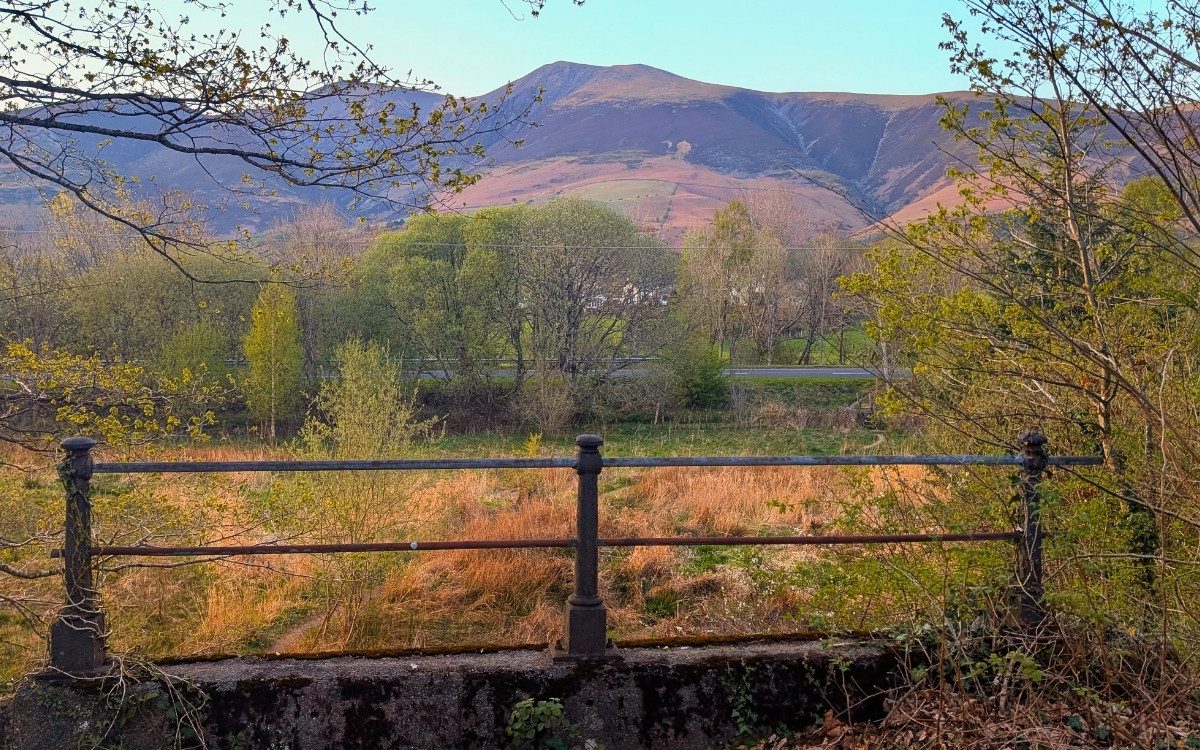
The path leads you safely past the back of Keswick School and historic Crosthwaite Church until it meets the A66. This is your turnaround point. Head back the way you came, taking some time to explore the church grounds before finishing up at The Pheasant Inn for a well-earned, quick pint.
The Logistics:
How to get there by Bus: Almost all local buses terminate at the Keswick Bus Station at Booths, which is just a 5-minute walk to the start of the trail. Or get off at the hospital.
Where to park: Crosthwaite Road Car Park
Where to Stay:
The Pheasant Inn – Keswick
-
Location: Crosthwaite Road, Keswick
-
Best For: Ultimate post-walk convenience and traditional pub comfort
-
Atmosphere: Friendly, relaxed 18th-century coaching inn with hearty dining
-
Highlights: Situated literally seconds from the start of the walk, serving real Cumbrian ales and generous portions of homemade food with free guest parking
Why It’s Ideal For This Walk: You can park up, wander straight down Crosthwaite Road onto the historic railway trail, and finish your loop right back at the bar for a well-earned pint without ever having to navigate town traffic.
2. Force Crag Mine
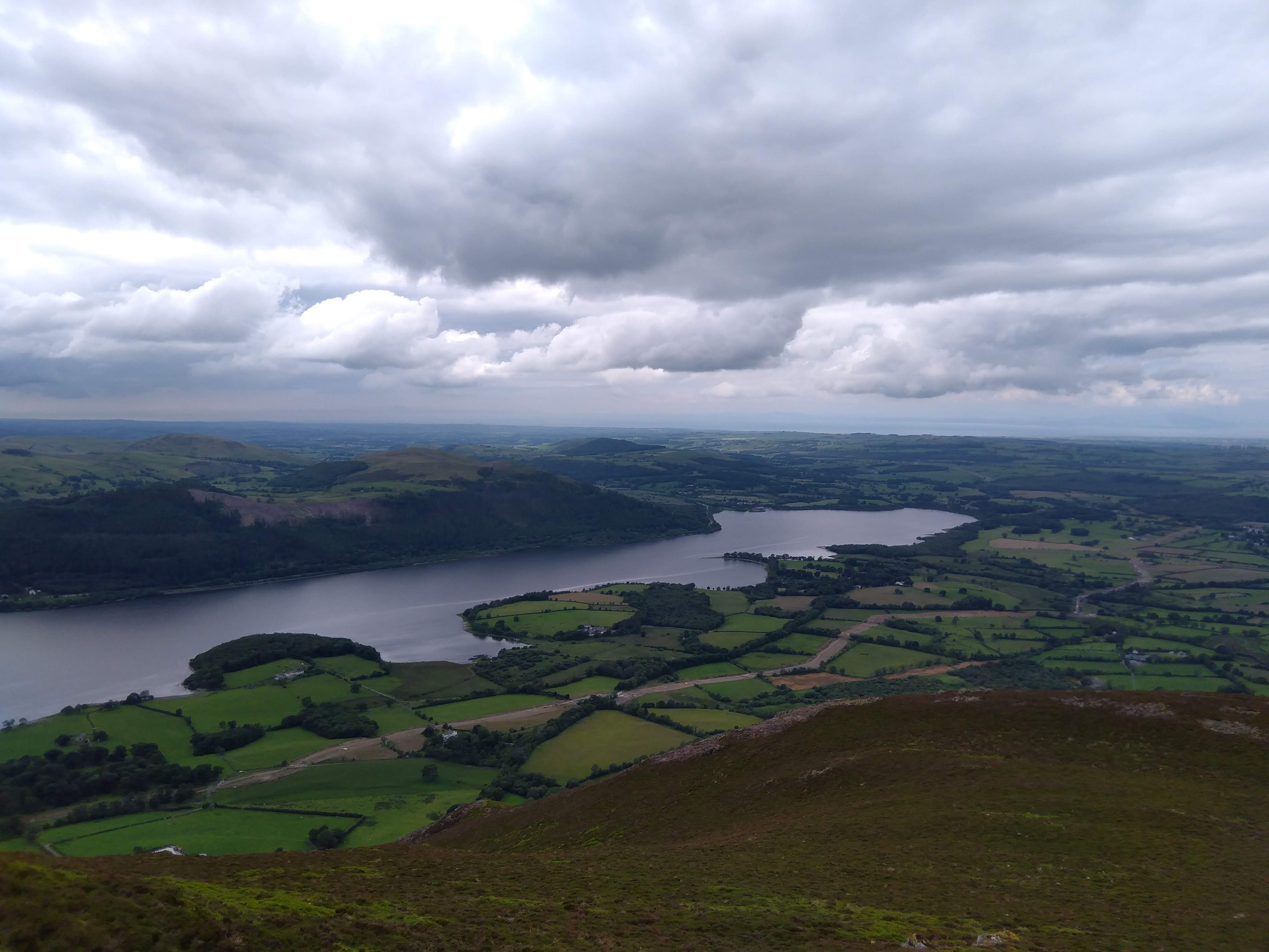
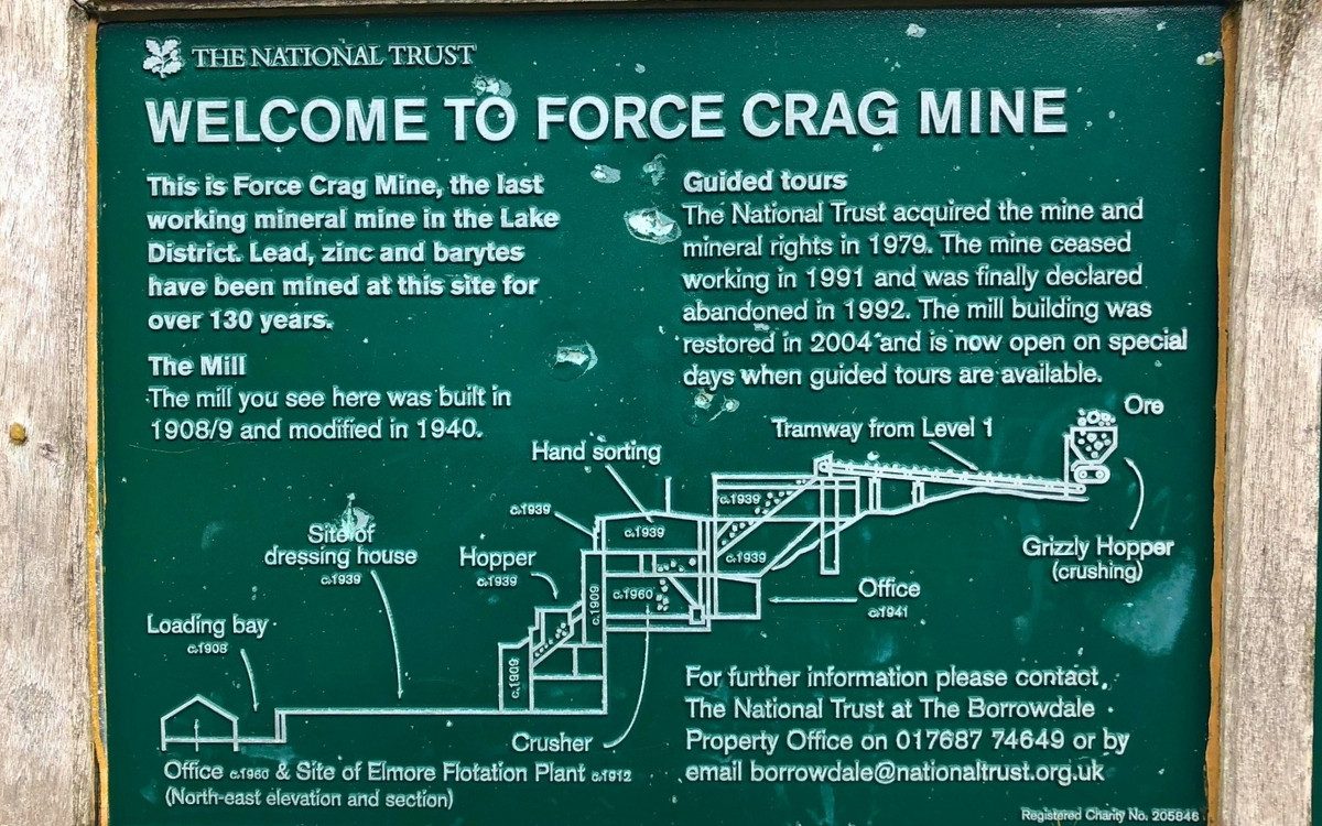
This walk takes you deep into the Coledale Valley, offering an incredible mix of natural beauty and striking industrial heritage, completely tucked away from the main tourist routes.
- Starting Point: Braithwaite Village (Whinlatter Pass road)
- Destination: Force Crag Mine
- Distance: Approx. 4 miles (6.5 km) each way
- Time: 2–3 hours there and back
- Difficulty: Easy to moderate
- Terrain: Farm tracks, gravel paths, and uneven valley trails
The Route:
Set off from Braithwaite, heading uphill towards the Whinlatter Pass. Just after the very first corner on the hill, look to your left—you will see a small, tucked-away car park. Turn in here and follow the signposts for Force Crag Mine.
The start of the walk is a little hilly, which helps keep the crowds away, but once you reach the top of the initial incline, it transitions into a beautiful, gentle walk along a gravel track that winds through the valley.
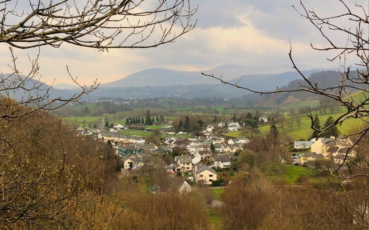
Finally, when you arrive at the end of the trail, you are greeted by the imposing, historic mine building, which sits dramatically beneath the crags, complete with stunning valley views and a cascading waterfall. I’ve not included an image of the mine, so keep it a surprise; don’t be googling.
The Logistics:
How to get there by Bus: The X5 or the seasonal 77/77A Honister Rambler stops right in the centre of Braithwaite village.
Where to park: Parking in Braithwaite is very limited. Please park considerately in the village. Two pubs in the village have car parking for guests; you’ll also find a few parking places in the village. There’s parking near the Coldale Inn, but the place you want to bag is the first car park on the first corner up Whinlatter Pass. Alternatively, if you’re in the mood for a slightly longer walk, then there’s a lovely road alongside the A66, aka the old road.
Where to Stay:
The Coledale Inn – Braithwaite
-
Location: Coledale Brow, Braithwaite Village
-
Best For: Direct access into the Coledale Valley and panoramic fell vistas
-
Atmosphere: Historic Victorian country coaching inn tucked quietly away from the village thoroughfare
-
Highlights: Large hillside beer garden, extensive bar menu, dog-friendly spaces, and direct footpaths leading into the valley
Why It’s Ideal For This Walk: Set right on the hillside at the start of the route, you can skip the struggle for village parking, walk straight up into the secluded Coledale valley toward the historic mine, and return to an elevated garden terrace overlooking the fells.
3. Dubwath & Silver Meadows Circular Walk
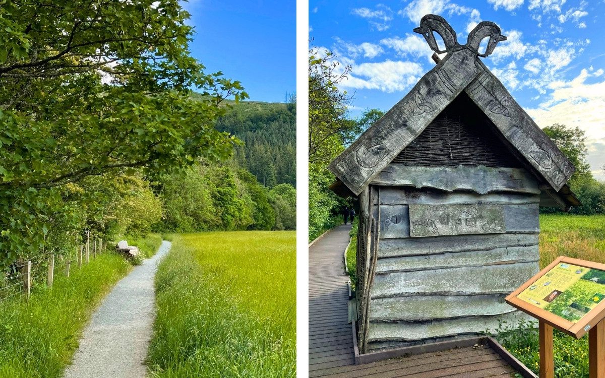
Located at the northern end of Bassenthwaite Lake, this nature reserve is a tranquil haven for wildlife and offers a beautifully maintained, flat walking route that’s perfect for all abilities.
- Starting Point: Dubwath Silver Meadows parking area
- Destination: Circular Route
- Distance: Approx. 1.5 miles (2.4 km)
- Time: 30 minutes – 1 hour
- Difficulty: Easy / Accessible
- Terrain: Wooden duckboards, boardwalks, and flat grass paths
The Route:
Park up next to the meadow and head through the main entrance gate. We highly recommend turning left to complete this circular walk in a clockwise direction. In addition, along the way, you will pass ancient Celtic-style huts with living roofs and strategically placed bird hides. Keep your eyes peeled and listen closely—the wetlands are teeming with local birdlife and flora.
The path navigates the stunning wetland landscape using a series of wooden duckboards and grassy trails. Once you have completed the loop, treat yourself to a fantastic lunch at the nearby Bassenthwaite Lake Station, a brilliant café set inside a restored vintage steam train.
The Logistics:
How to get there by Bus: The X4/X5 bus route between Keswick and Cockermouth drops you off right near the nearby. A short walk, crossing the A66, and you’re pretty much there.
Where to park: There is a dedicated, free parking area right at the entrance gates to the Dubwath Silver Meadows.
Where to Stay:
The Pheasant Inn – Dubwath
-
Location: Near Bassenthwaite Lake, Dubwath (just off the A66)
-
Best For: Historic character, incredible Cumbrian food, and exploring the wetlands on foot
-
Atmosphere: A beautifully restored 18th-century coaching inn combining country-chic comfort with historic pub interiors
-
Highlights: Breathtaking woodland gardens with a running stream, outstanding seasonal menus using local produce, an extensive real ale and malt whisky selection, and dog-friendly rooms available
Why It’s Ideal For This Walk: Tucked away a stone’s throw from the northern tip of Bassenthwaite Lake, this iconic inn sits right on the doorstep of the Dubwath Silver Meadows Nature Reserve. You can easily stroll through the accessible boardwalk paths and quiet meadows before returning to unwind in their historic, cosy lounges or peaceful gardens.
4. Swirls to Thirlmere Dam Lakeside Walk
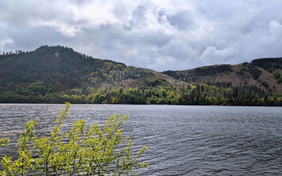
Thirlmere is often viewed from the window of a car on the A591, but getting out on foot reveals hidden waterfalls and incredibly peaceful shoreline trails.
- Starting Point: Swirls Car Park (just off the A591)
- Destination: Thirlmere Dam
- Distance: Approx. 3.5 miles (5.6 km) one way
- Time: 1.5 – 2 hours
- Difficulty: Moderate
- Terrain: Woodland paths, some steep hill sections, and roadside pavements
The Route:
Start at the Swirls car park. Leave your car and walk through the pedestrian tunnel that safely takes you right under the main road. Almost immediately, you will be walking past tumbling waterfalls, clear pools, and a beautiful wildflower meadow before hitting the Thirlmere reservoir.
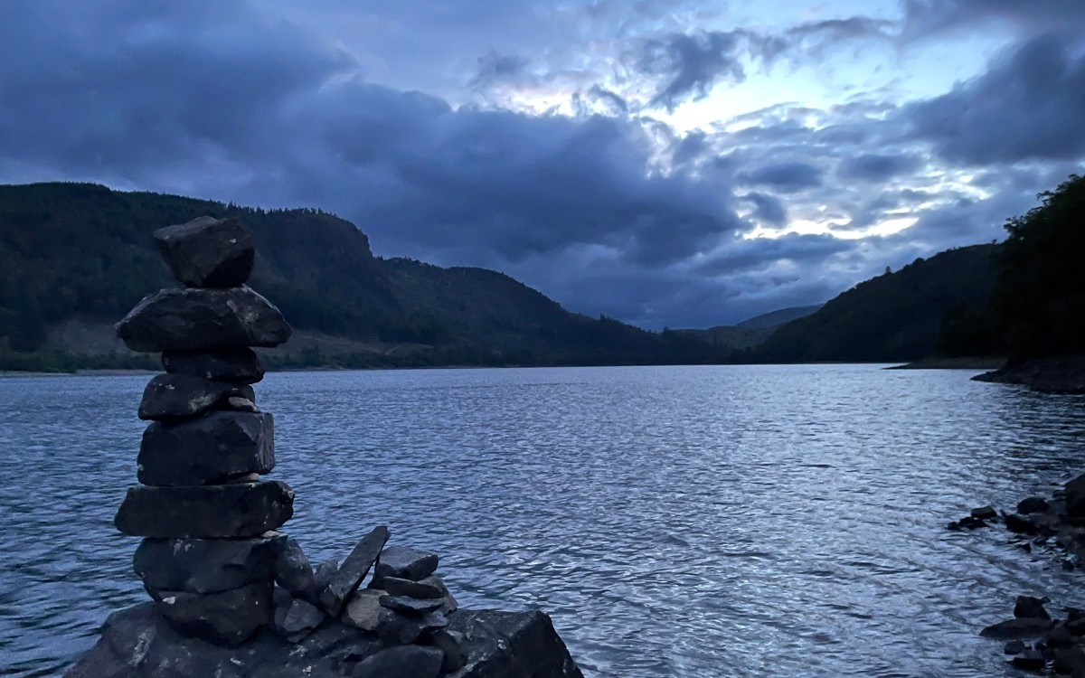
From there, keep following the designated path until you reach the entrance to the Dale Head Hall hotel. Stick to the left here, and the trail will skirt right along the picturesque shoreline of Thirlmere. Be prepared—there are some steep hills on this section, but it is a lovely, rewarding hike. The trail eventually brings you back onto the A591. Keep left, walk for a few minutes, and you can safely navigate the road past the local campsite. After a few small corners, you will arrive at the Thirlmere Dam. The expansive views down the valley and across the water are absolutely worth the journey.
The Logistics:
How to get there by Bus: The 555 bus runs straight down the A591 from Keswick and Kendal. The 555 stops directly outside the Swirls Car Park.
Where to park: Swirls Car Park is a dedicated United Utilities pay-and-display lot equipped with public toilets. There’s also a layby a bit further down the road.
Find Accommodation
Looking for the perfect base for your next Lake District adventure? From traditional coaching inns and cosy village B&Bs to lakeside hotels with dramatic fell views, find the best places to stay in Keswick and the surrounding valleys. Search real-time availability, compare top-rated stays, and book your getaway
Enjoying the Quieter Side of Keswick
You don’t always have to hike the highest fells or fight for parking at the most popular lakes to experience the magic of the Lake District. Taking the time to explore these quieter trails near Keswick proves that some of the best Cumbrian scenery is found just off the beaten path. Whether you are strolling the accessible boardwalks of Dubwath Silver Meadows or taking in the dramatic isolation of Force Crag Mine, these routes offer a peaceful alternative to the peak season crowds.
If you are heading out to explore these quieter trails, make sure you are geared up for the changeable Cumbrian weather! Check out our exclusive Lake District DNA apparel collection to find the perfect, comfortable fit for your next adventure.