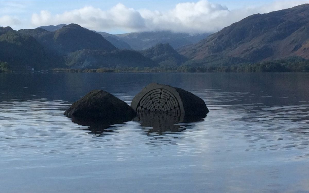
When the Heavens Open: The Raw Force of Lake District High Waters
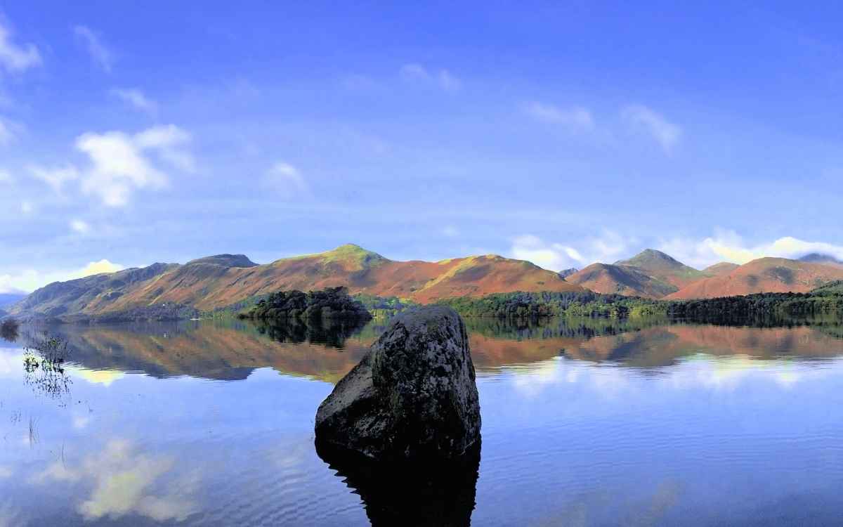
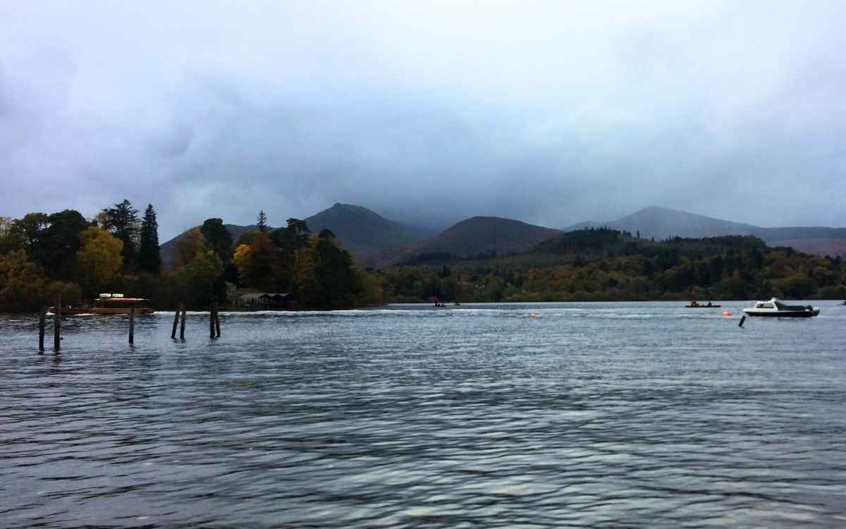
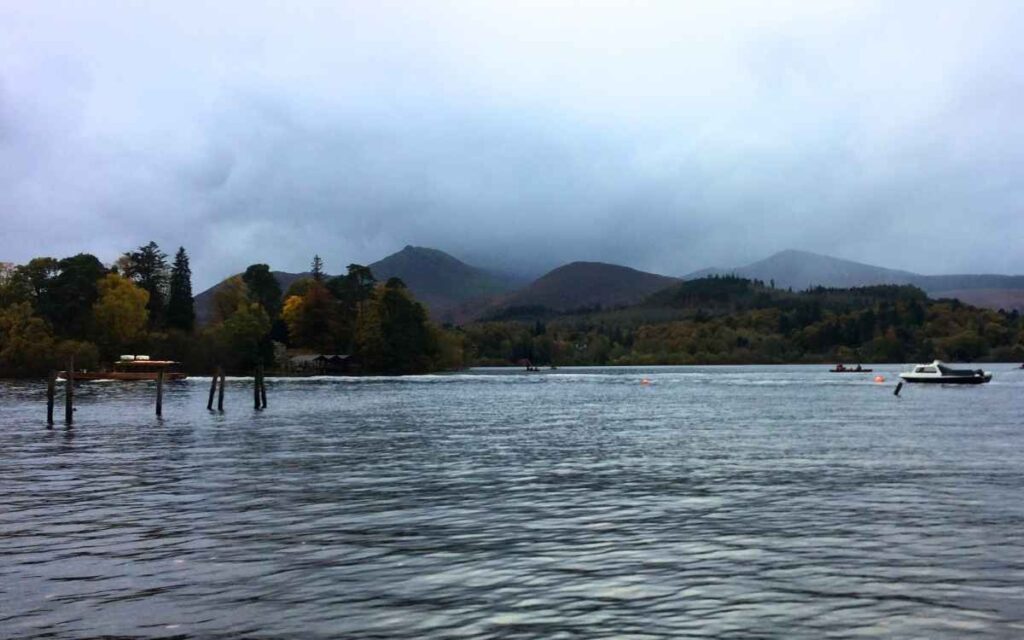
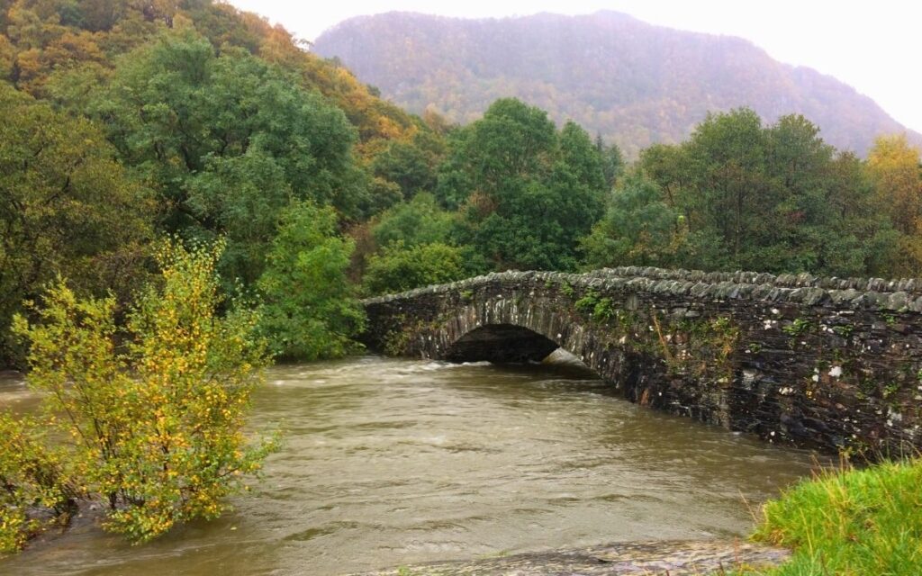
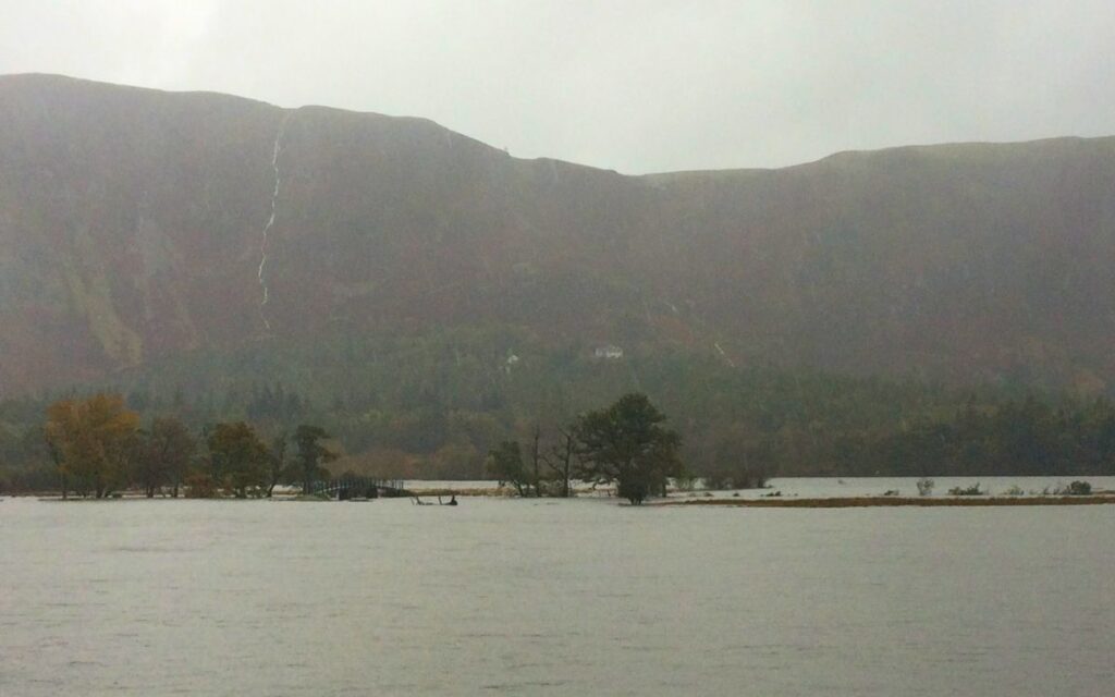
Few places on earth feel the sheer power of water quite like the Lake District. When heavy Atlantic weather fronts hit the high summits of Borrowdale and the northern fells, the landscape transforms in a matter of minutes. Gentle trickling becks become deafening, white-capped torrents, and the tranquil shorelines of Derwent Water and Bassenthwaite expand into vast inland seas.
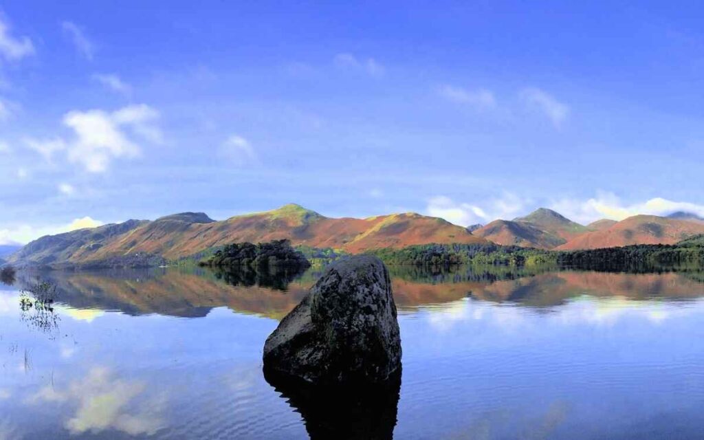
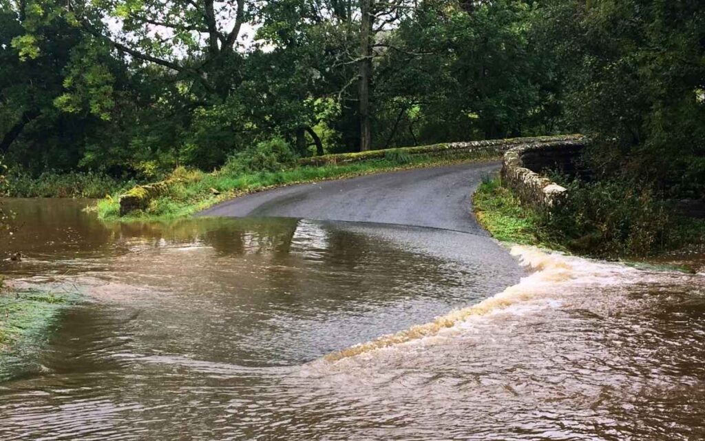
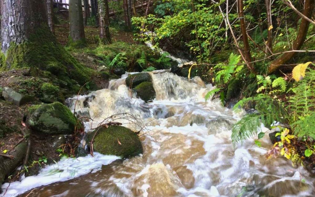
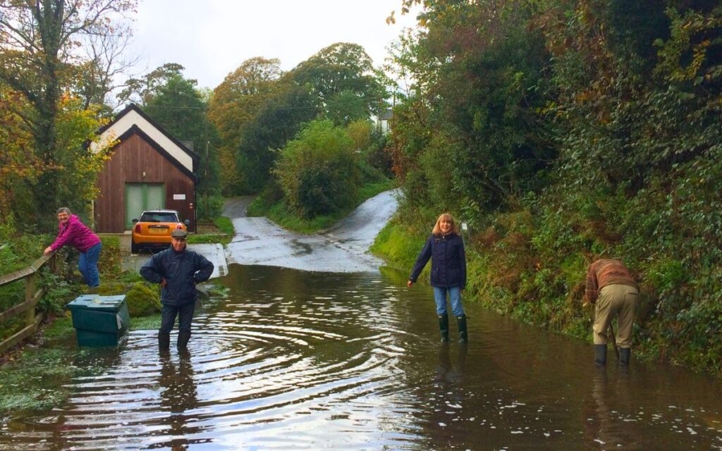
This dedicated photo archive captures the untamed, dramatic reality of life in the valleys when the waters rise—showcasing the wild beauty, the submerged landmarks, and the timeless resilience of Cumbrian stone and community.
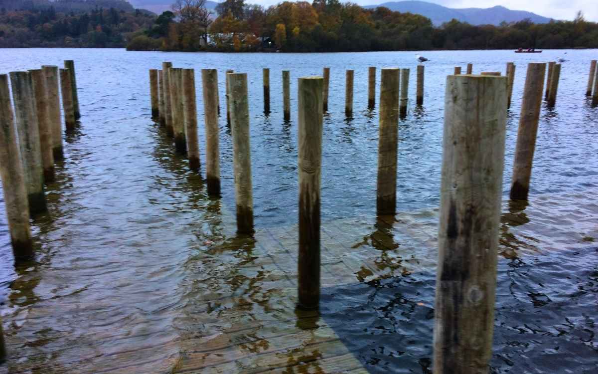
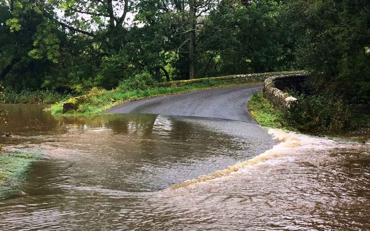
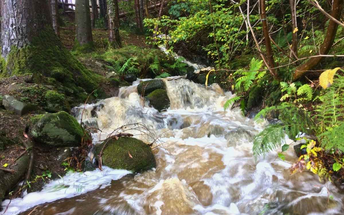
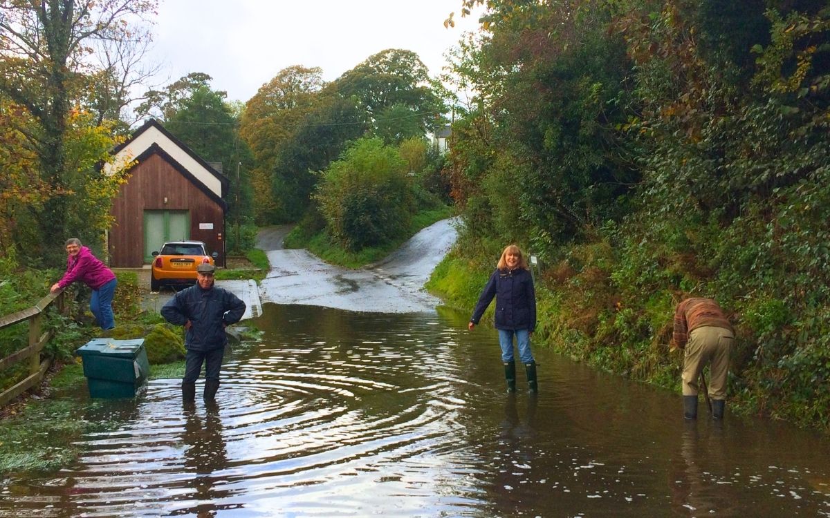
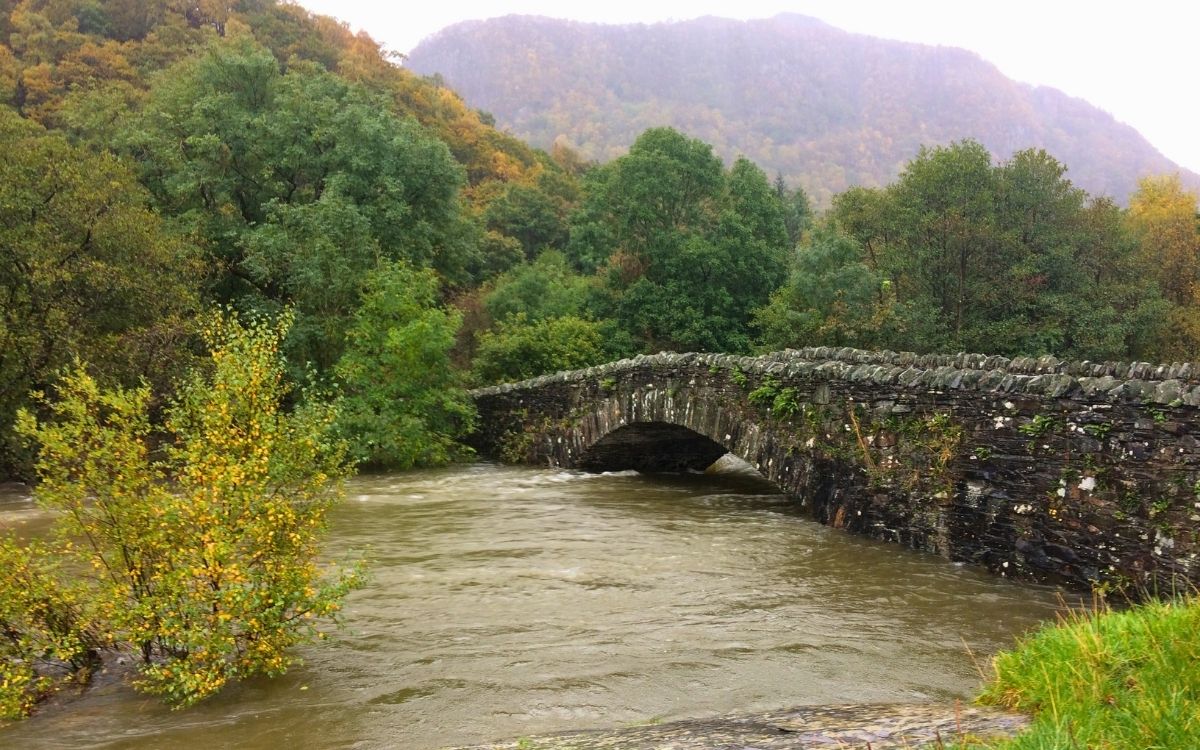
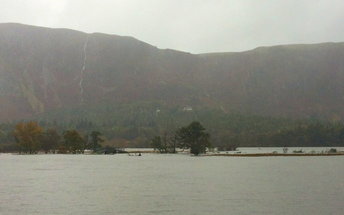
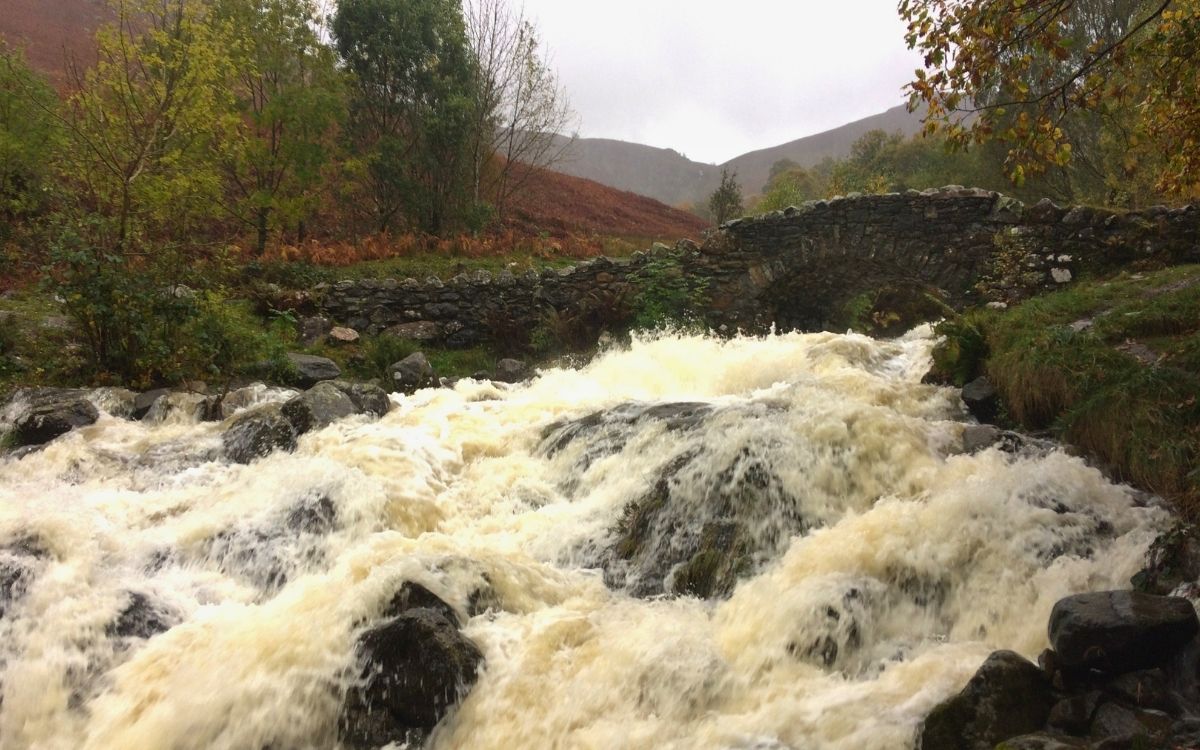
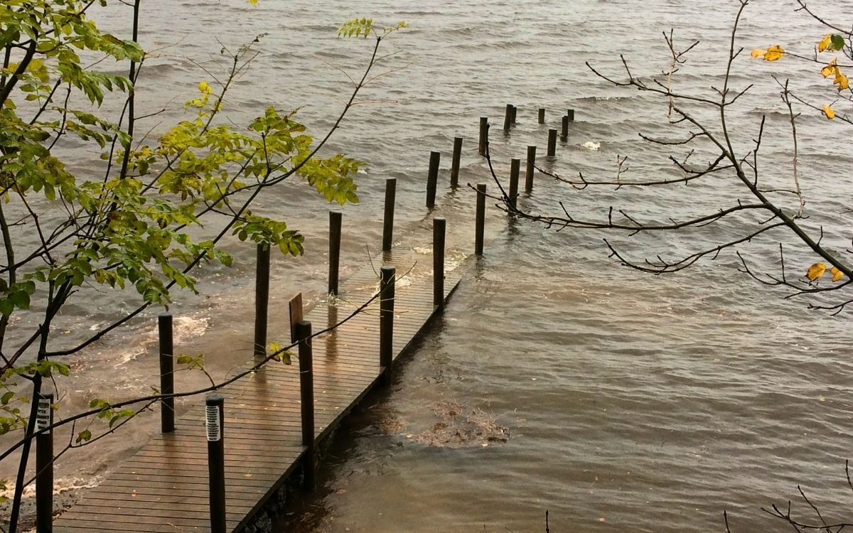
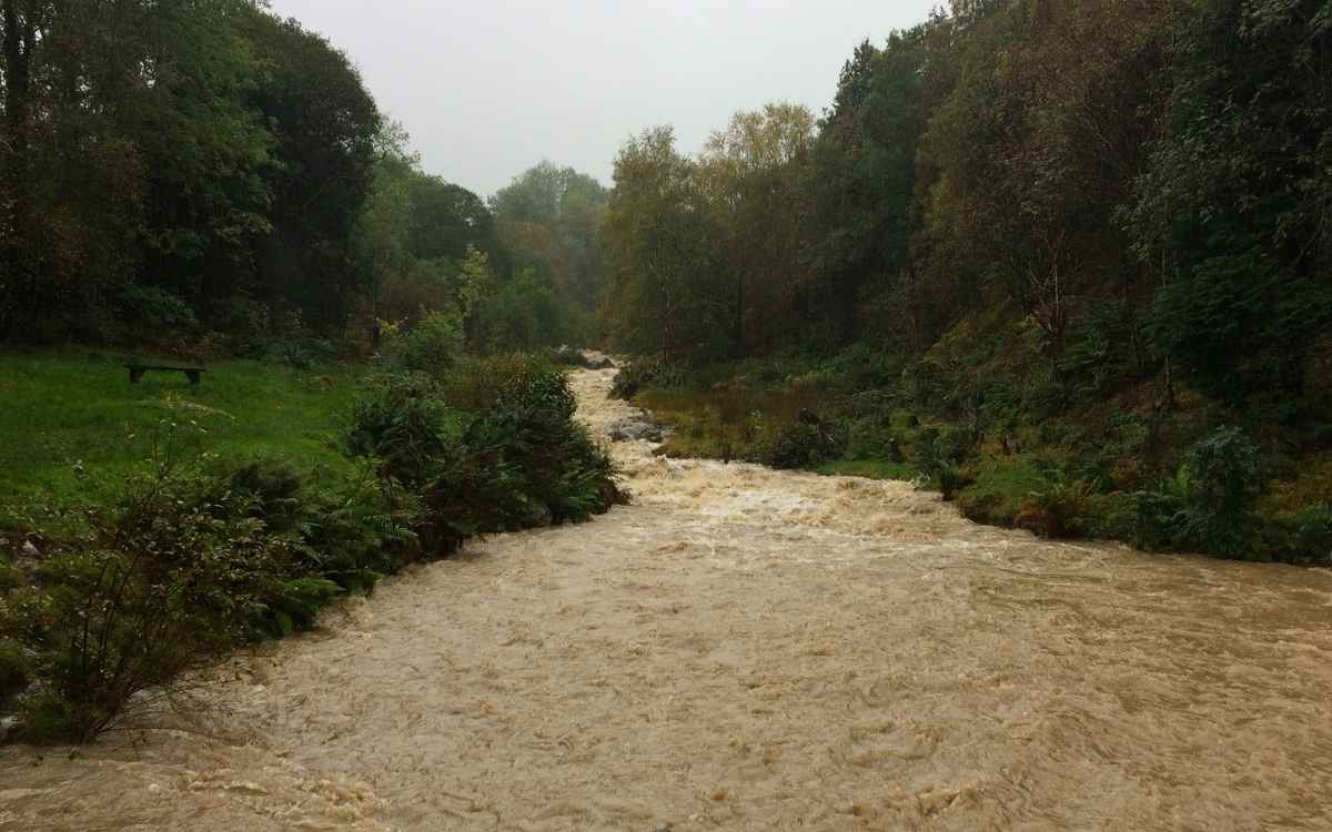
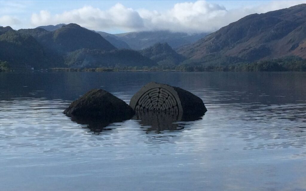
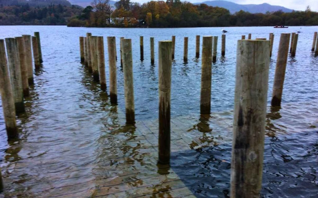
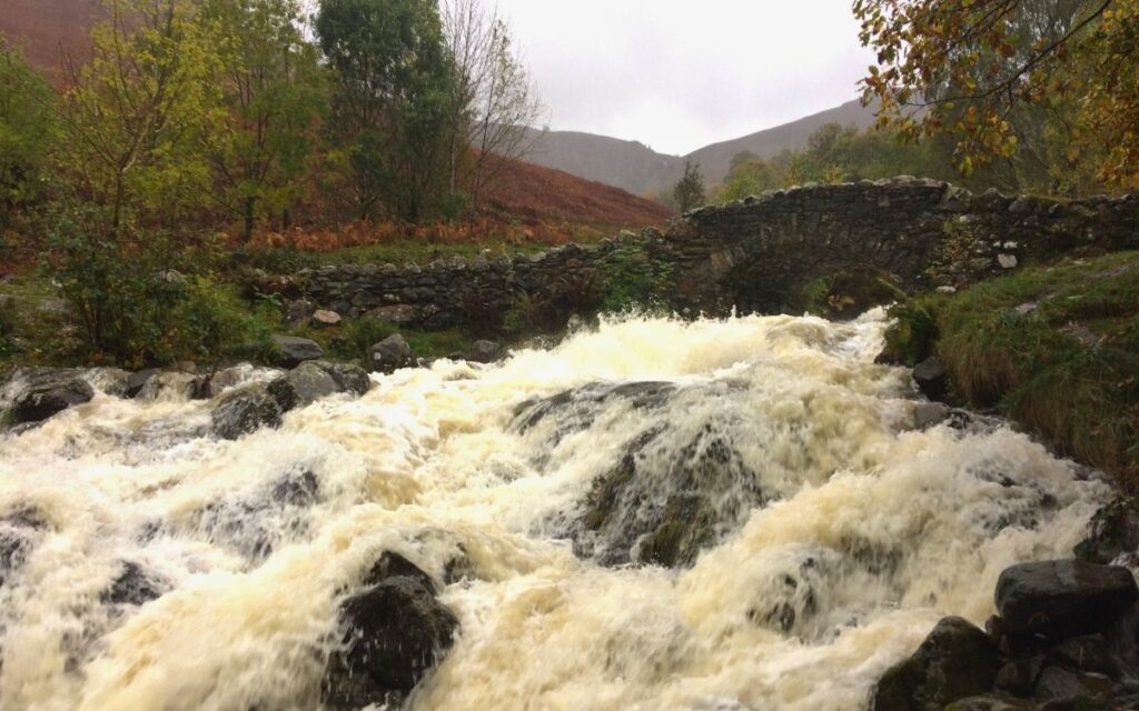
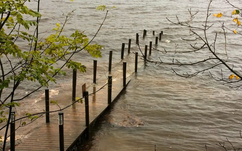
Steep Mountain Catchments: Peaks like Skiddaw, Blencathra, and the Borrowdale fells act as natural funnels, rapidly draining water into narrow valleys. Thin Fell Soils: The rocky, upland ground quickly becomes saturated, meaning nearly all rainfall becomes immediate surface runoff. Interconnected Waterways: Rivers like the Greta, Derwent, and Coledale Beck rise sharply, submerging wetland paths, boardwalks, and low-lying roads before slowly discharging down the catchment. Submerged Landmarks: The iconic wooden piers of Derwent Water and the Chinese Bridge swallowed by high lake levels. Becks in Full Spate: Roaring, foamy floodwaters surging over the spillway at Braithwaite Dam and forcing their way beneath historic stone arches. Rural Realities: Local communities navigating waterlogged country backroads between Bassenthwaite and Caldbeck.Why Does the Lake District Flood So Quickly?
What You’ll See in This Collection
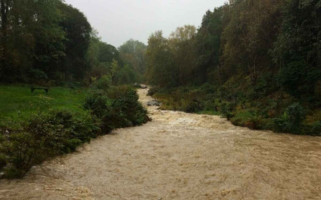
Local Safety Note for Walkers: High-water events in the Lakes are awe-inspiring to witness from safe ground, but valley-bottom paths and river crossings can become dangerous quickly. Always check local water levels, respect road closure signs, and stick to elevated ground during extreme weather.
Find Accommodation
Looking for the perfect base for your next Lake District adventure? From traditional coaching inns and cosy village B&Bs to lakeside hotels with dramatic fell views, find the best places to stay in Keswick and the surrounding valleys. Search real-time availability, compare top-rated stays, and book your getaway.
Explore More Lake District Heritage & Guides:
Braithwaite Dam: Local Gem – Discover this tucked-away woodland weir and rushing fell stream in the Coledale Valley
Stay at The Coledale Inn: Braithwaite – Historic dog-friendly country pub, hearty Cumbrian food & fell-walking straight from the door
Skiddaw Walking Route Via Jenkin Hill – Conquer England’s 4th highest peak
Signs of the Lake District Gallery – Explore local boundary markers, heritage plaques & trail signs