While many visitors stick strictly to the high peaks or the paved valley lanes, this route from Seatoller to Grange offers the perfect mix: beginning on a classic section of Alfred Wainwright’s famous Coast to Coast (C2C) Path, before branching off into a quiet, wild, and largely unmaintained riverside trail.
Whether you’re looking for photography spots, peaceful wild waters, or an adventurous scenic route between two classic Lakeland hamlets, here is your step-by-step guide.
Seatoller to Grange Walk: Trail Summary & Key Details
-
Start Point: Seatoller National Trust Car Park | Postcode: CA12 5XN
-
End Point: Grange in Borrowdale | Postcode: CA12 5UQ
-
Distance: This Seatoller to Grange walk covers approximately 3–4 miles (5-6 km) one-way
-
Walking Time: 2 to 3 hours (allow 4+ hours for photography and riverside stops)
-
Difficulty: Moderate
-
Reasoning: While mostly low-level, the unmaintained riverside stretch involves narrow single-track paths, exposed tree roots, uneven wet slate, slippery river stones, and dense summer bracken.
-
-
Ordnance Survey Map: OS Explorer OL4 (The English Lakes – North-western area)
Getting There & Parking
When preparing for your Seatoller to Grange walk, the easiest starting point is Seatoller National Trust Car Park
1. By Public Transport (The Easiest Option)
-
Bus Route: Stagecoach Cumbria Route 78 (the famous open-top “Borrowdale Bus” during peak season).
-
Outward Journey: Board at Keswick Bus Station (Stand 3, next to Booths supermarket). The journey takes approximately 20–25 minutes, winding down the B5289 along Derwentwater, terminating right at the Seatoller Bus stop.
-
Return Journey: When you finish in Grange, board the return Route 78 bus at the Grange Bridge Bus Shelter back to Seatoller (southbound) or into Keswick (northbound). Buses run roughly hourly throughout the day.
2. By Car from Keswick
-
From Keswick town centre, head south along the B5289 (Borrowdale Road).
-
Follow the lake road past Great Wood, Ashness Gate, Rosthwaite, and Stonethwaite.
-
After 7.5 miles, you will enter the small hamlet of Seatoller at the foot of Honister Pass.
Where to Park
- Location: Seatoller National Trust Car Park (CA12 5XN).
- Facilities: Pay-and-display machine (National Trust members park free with a scanned barcode/card), recycling bins, and public toilet block (contactless payment entry).
Step-by-Step Route Guide
Stage 1: Seatoller to the Coast to Coast Path
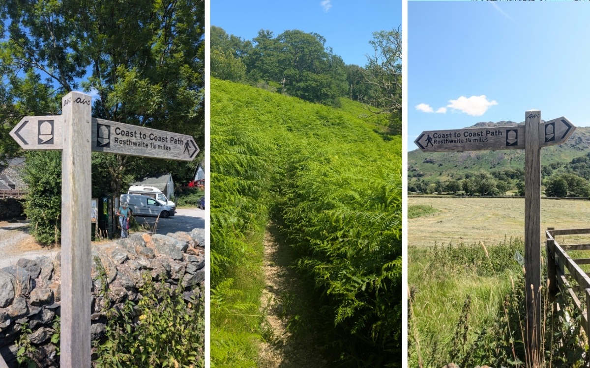
Walk to the far north-east (left-hand) corner of the Seatoller car park, away from the road exit.
Pass through the wooden gate signposted for the Wainwright Coast to Coast (C2C) Path heading north towards Rosthwaite/Grange.
Once through the gate, step onto the trodden grass path that skirts around the rear fields of the Glaramara Hotel.
The path gradually transitions from meadow turf to a rougher, stony gravel track flanked by drystone walls and native fellside gorse.
Stage 2: Johnny Wood to Borrowdale Youth Hostel
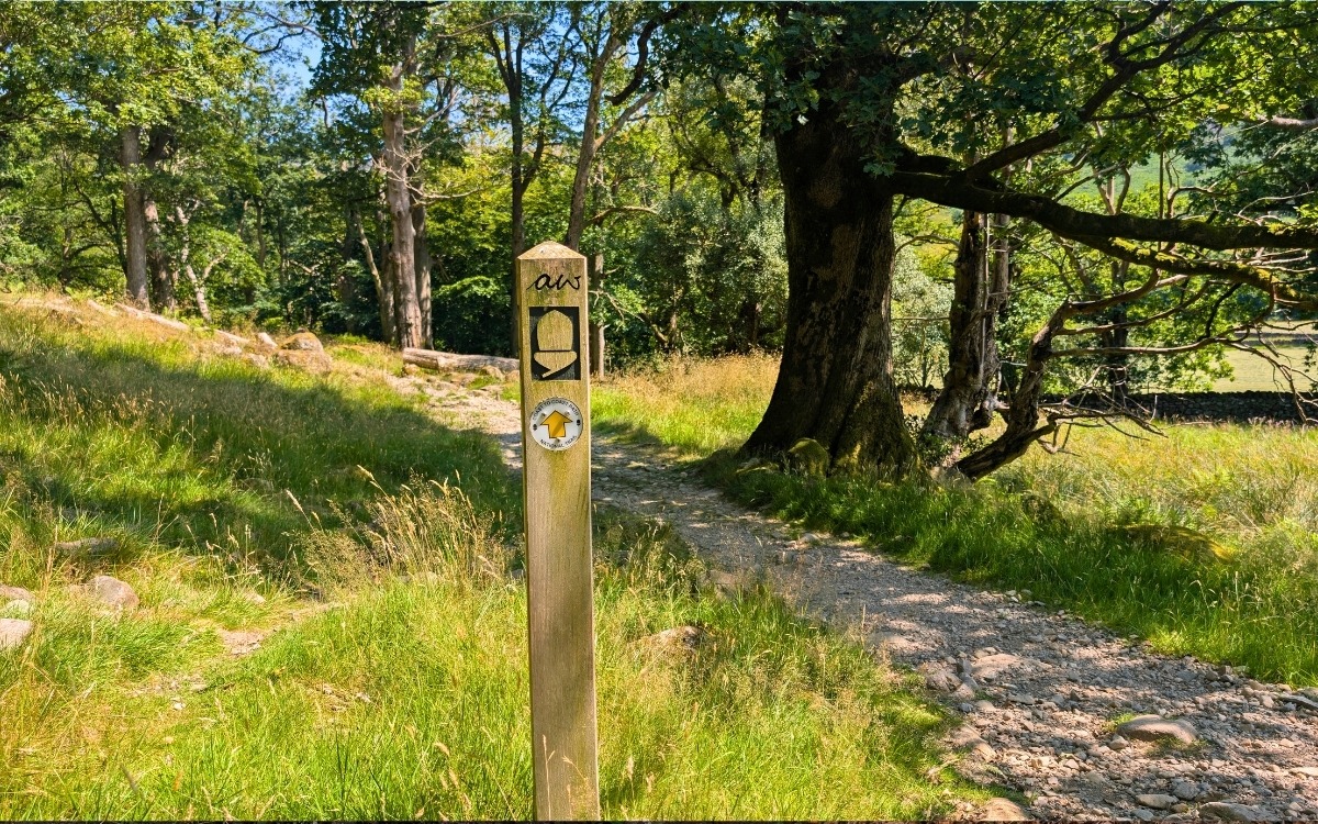
Continue forward as the trail enters the lower fringe of Johnny Wood, a prime example of ancient upland Atlantic oak woodland, rich with mosses, lichens, and bilberry bushes.
Key Viewpoint: Pause and look directly behind you. You will get an uninterrupted view looking up the Seathwaite valley towards the dramatic, craggy skyline.
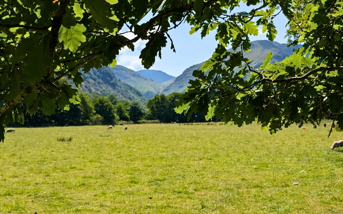
Follow the descending path until you enter the grounds of YHA Borrowdale.
Pass the main stone hostel building on your right, followed by the timber glamping pods on your left.
As you pass the final camping pod, keep to the far left boundary of the open lawn/field to find a small wooden gate set into the fence line.
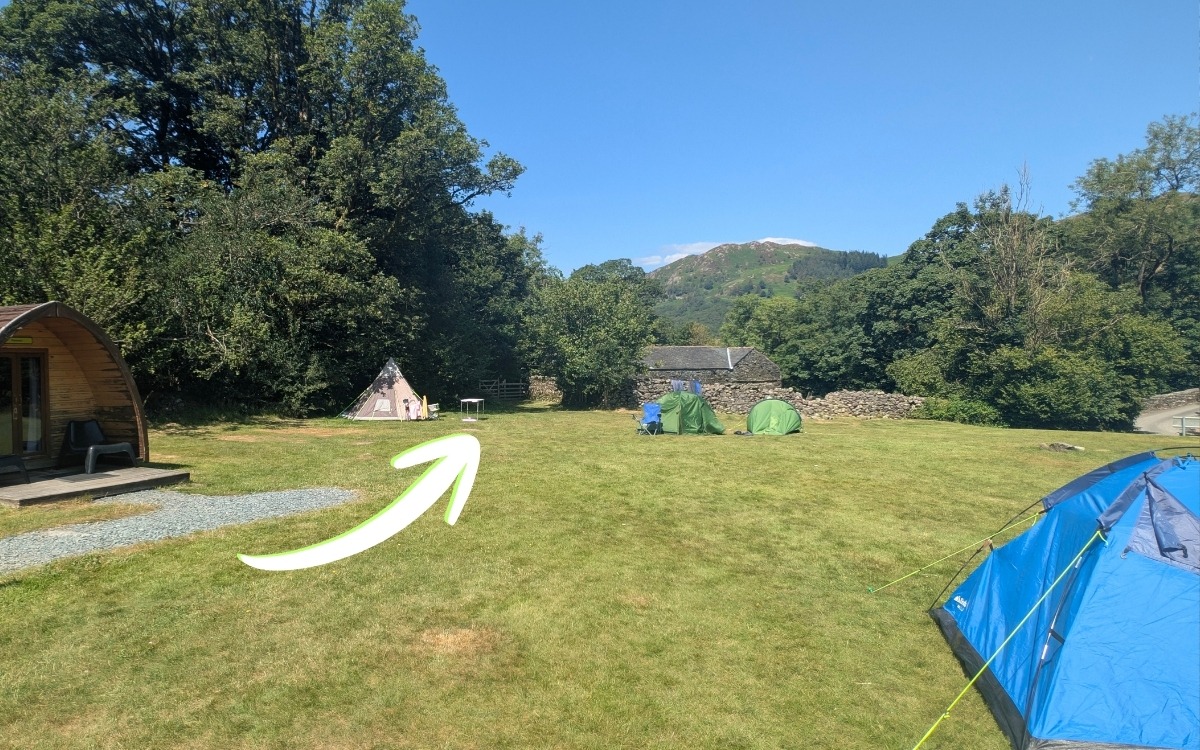
Stage 3: Field Crossings & The River Footbridge
Go through the gate and follow the thin path, keeping to the stone wall on your right. Look across the valley floor toward the fells by Stonethwaite.
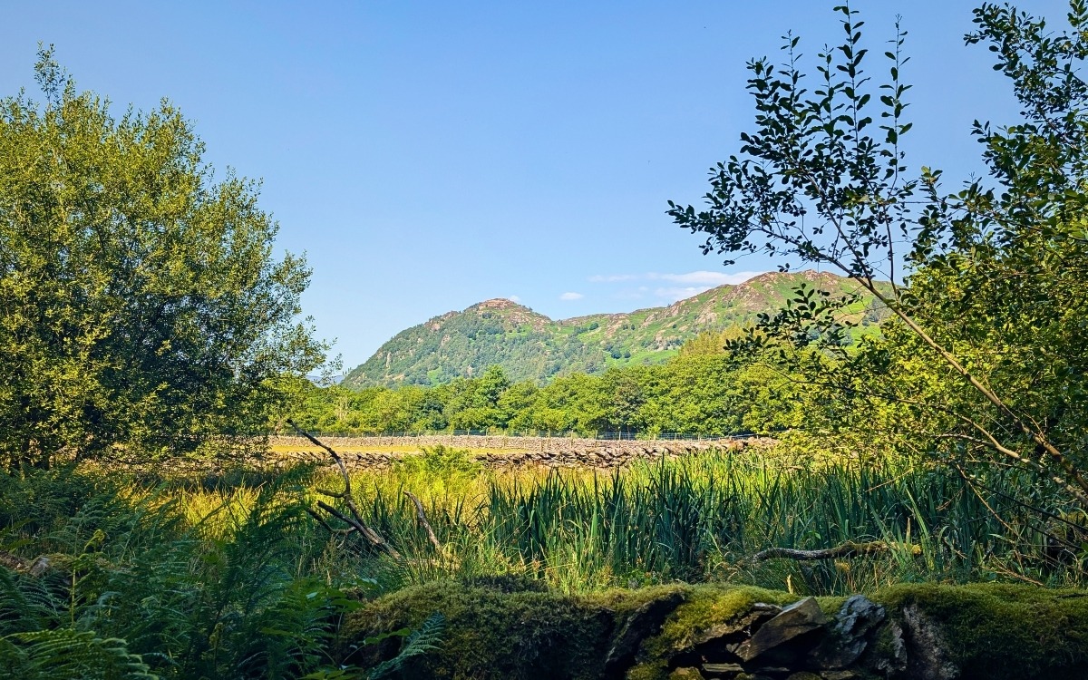
At the end of this section, go through the wooden gate and immediately bear right into the pasture field.
Walk parallel along the wooden post-and-wire fence on your right-hand side until you reach a kissing gate at the edge of a small stream.
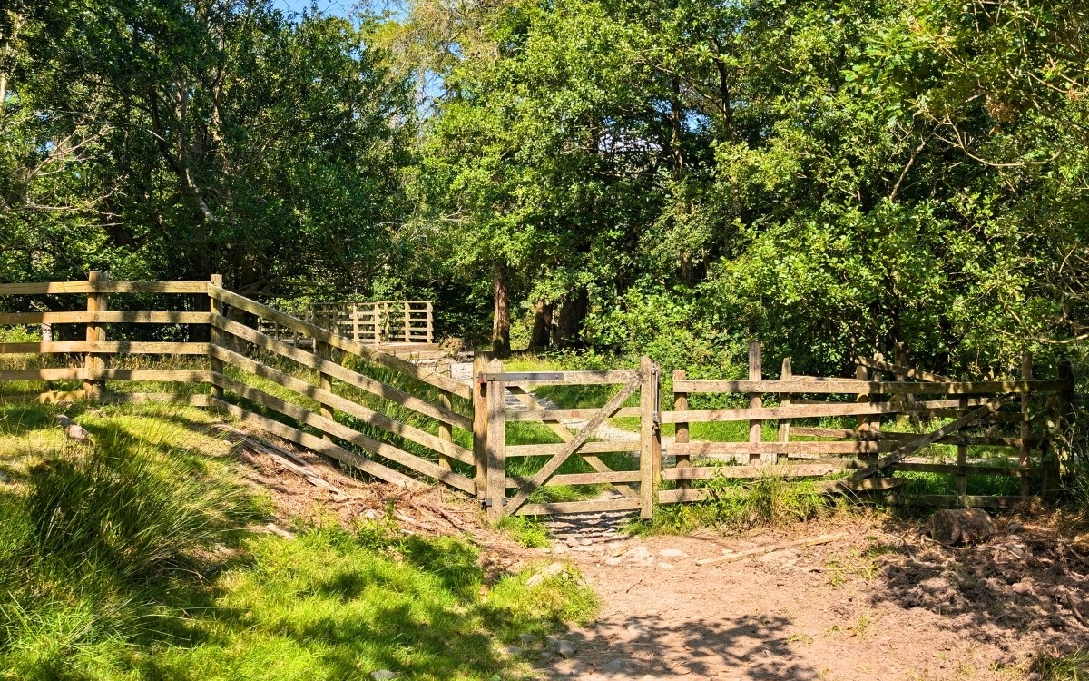
Pass through the gate and turn left to cross the timber footbridge spanning the dried-up beck.
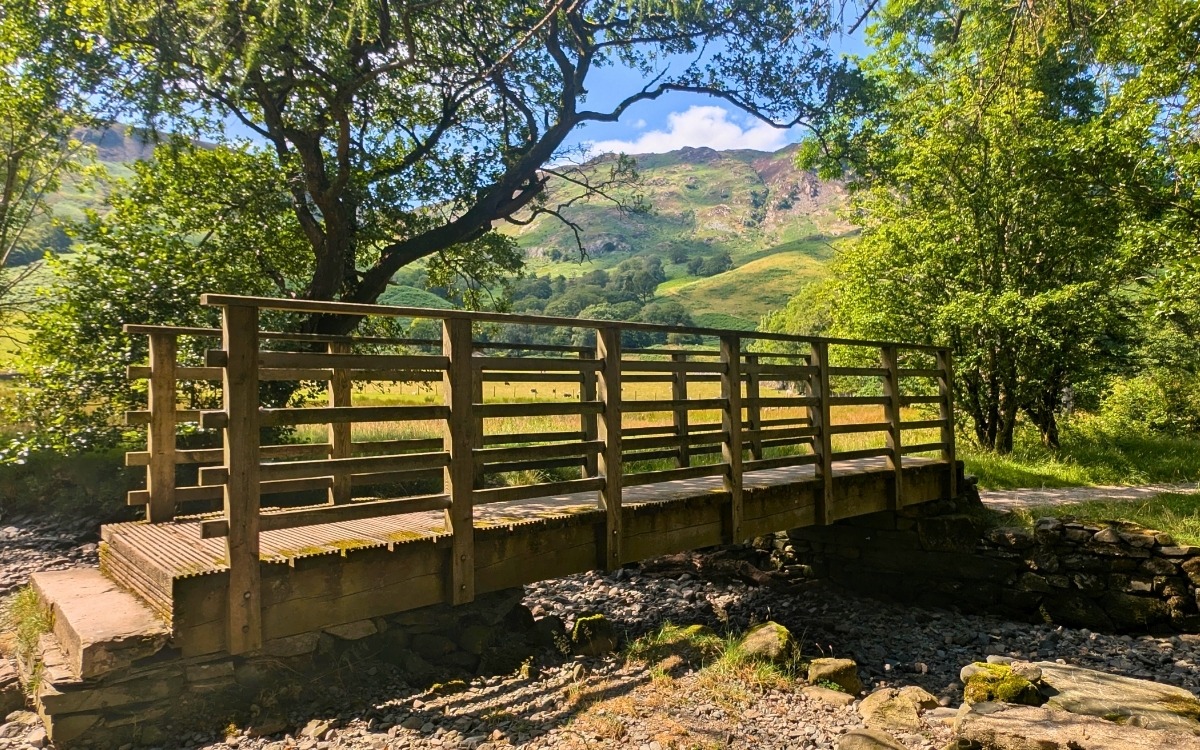
Follow the short gravel path until you face a pair of double farm gates. Go through the right-hand gate.
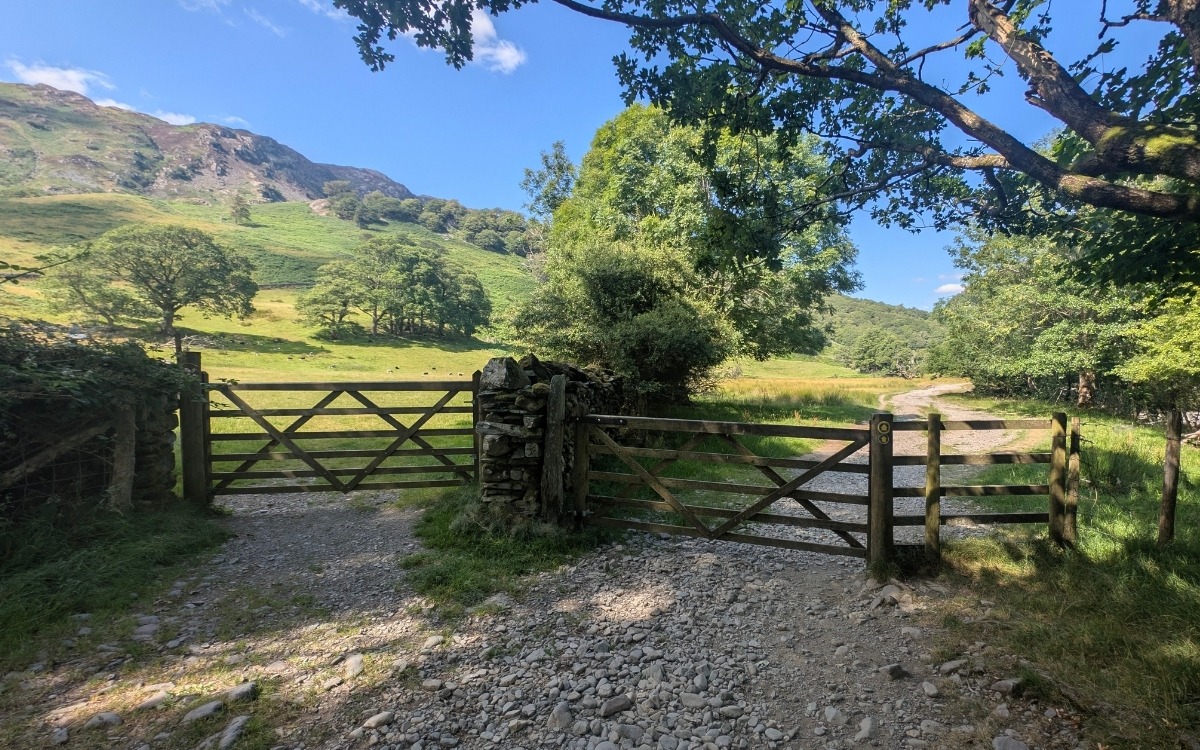
Stage 4: The Fork – Choosing Your Route
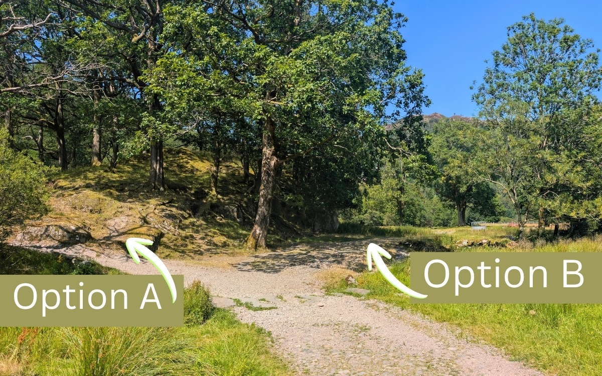
After passing through the right-hand gate, continue along the elevated track for approximately 200m until you reach a distinct fork:
Stage 5 (Option A): Seatoller to Grange Walk – The High Bridleway Via Castle Crag
If you prefer to stick to a well-maintained, clear path and bagging a Wainwrite along the way—take the left fork to remain on the main elevated bridleway.
The Castle Crag Summit
As you reach the high pass between Castle Crag and Low Scawdel (Broadslack Gill), you’ll spot a distinct path branching right, heading directly up towards the slate quarries:
The Ascent: The trail winds up a dramatic zigzag path across loose green slate scree before reaching the rugged top.
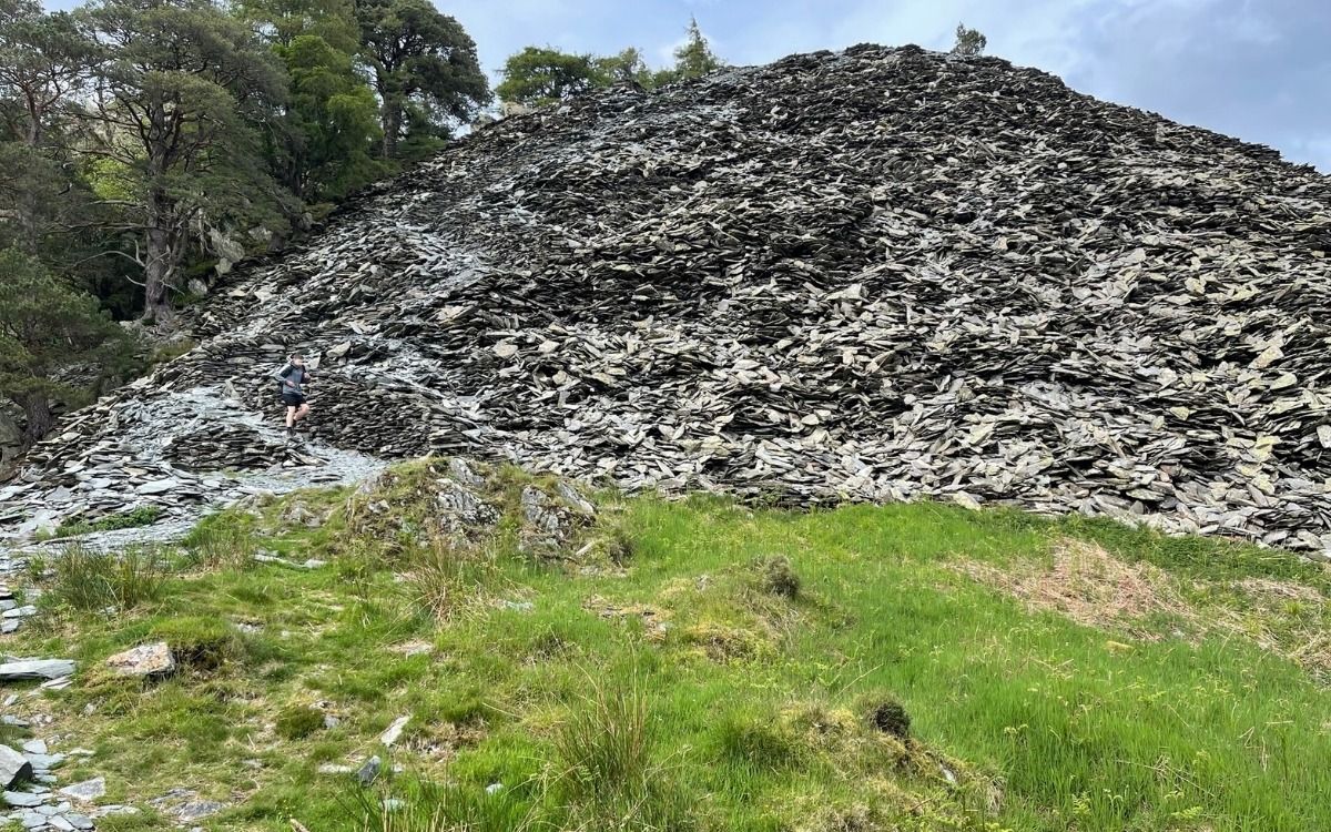
The Summit (290 m): As the smallest Wainwright in the Lake District, Castle Crag punches well above its weight. At the top, you’ll find the war memorial plaque set into the rock and a jaw-dropping, uninterrupted panoramic view looking north straight down the full length of Derwentwater and across to Skiddaw.
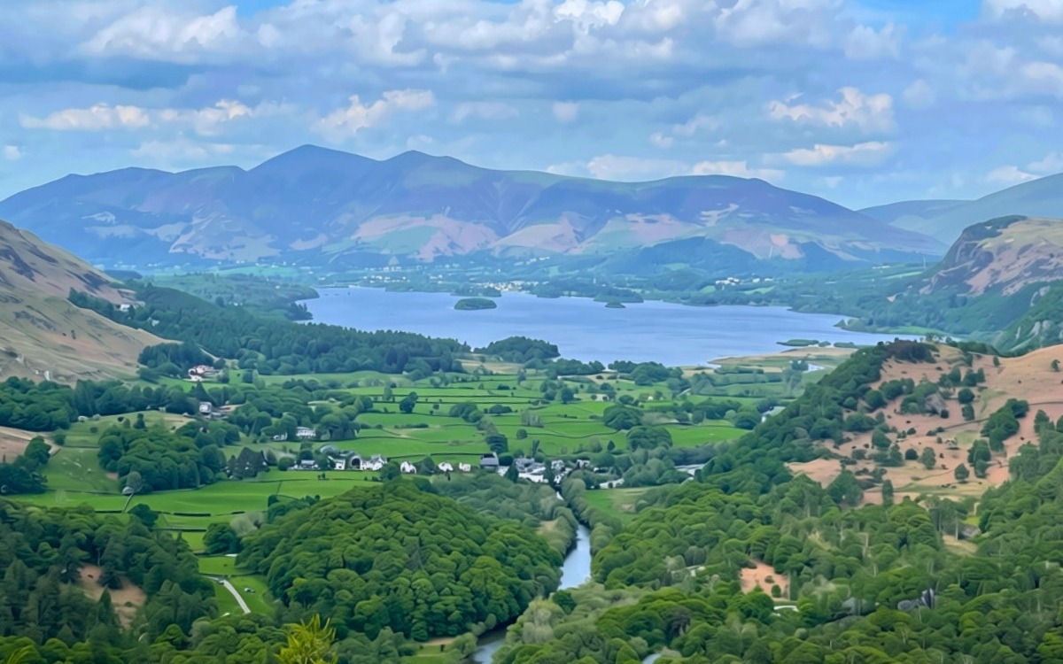
Descending to Grange
Rejoining the Track: Carefully retrace your steps down the slate zigzags from the summit to meet the main bridleway.
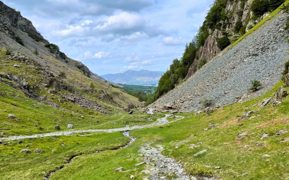
Entering the Village: Stay on the main trail until you reach the heart of Grange, alongside the riverside tearooms and the bridge.
Stage 5.1 (Option B): Seatoller to Grange Walk – Hugging the River Derwent (The Wild Riverside Trail)
Taking that right-hand fork immediately changes the character of your walk. You leave the gravel track behind and drop onto a narrow, soft-earth single track that brings you right down to the water’s edge of the River Derwent.
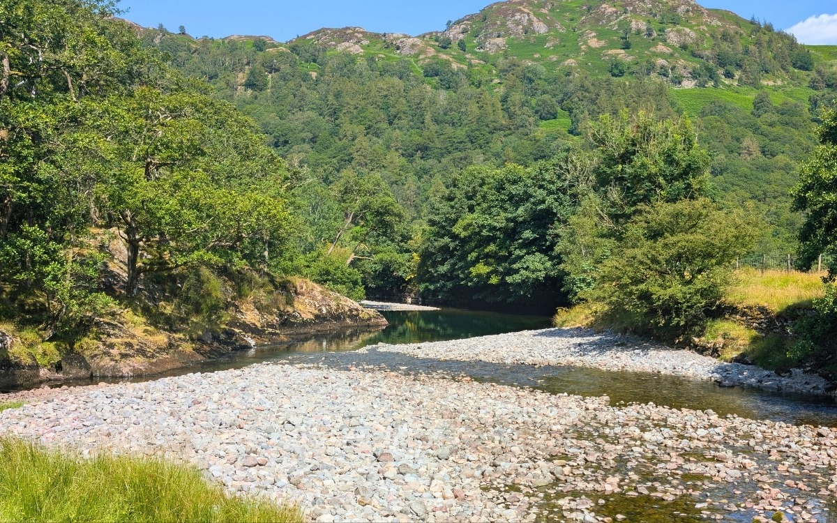
This is Borrowdale at its rawest and quietest. Because this path isn’t part of the heavily managed highway of trails, nature takes over here. In summer, the path carves straight through head-high bracken and wild woodland fern, with ancient moss-covered birch and alder trees leaning right over the flow.
Every few dozen paces, the trees pull back to reveal miniature shingle bays, flat slate slabs, and deep emerald pools where the river slows right down. It’s an incredible spot to pause, listen to the calm flowing water and the birds singing, or set up a tripod for photography without having to dodge crowds of walkers.
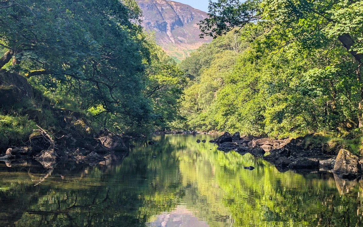
Keep following the natural curve of the riverbank northwards, watching your footing over the exposed tree roots and slick river pebbles.
Leaving the River and Entering Grange
As you continue north along the water, the trees begin to thin out, and you’ll arrive at the boundary of the riverside campsite fields.
Leaving the Riverbank: The informal river trail ends here. Bear to the right, following the fenced perimeter along the edge of the camping field rather than cutting across private pitches.
The Village Lane: Go through the gate at the corner of the field to join the quiet, paved access lane.
Arriving in Grange: Turn left onto the lane and follow it as it gently winds past traditional drystone walls and postcard-perfect Lakeland stone cottages straight into the heart of Grange in Borrowdale.
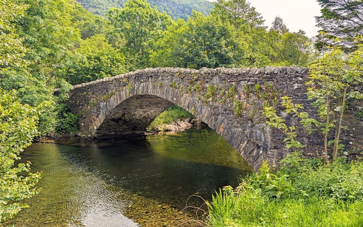
The Landmark Bridge: Walk right through the village until you meet the famous stone bridge spanning the River Derwent.
Post-Walk Refreshments & Return Options
Grange Cafes: To finish your Seatoller to Grange walk, stop at the Grange Café for tea and homemade scones with clotted cream, or a warm lunch.
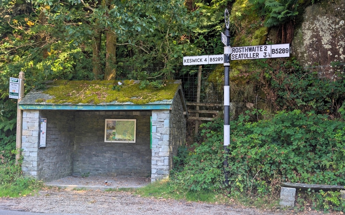
Taking the Bus Back: Walk over Grange Bridge to the roadside bus shelter to catch the Stagecoach 78 back to Seatoller car park (southbound) or Keswick (northbound).
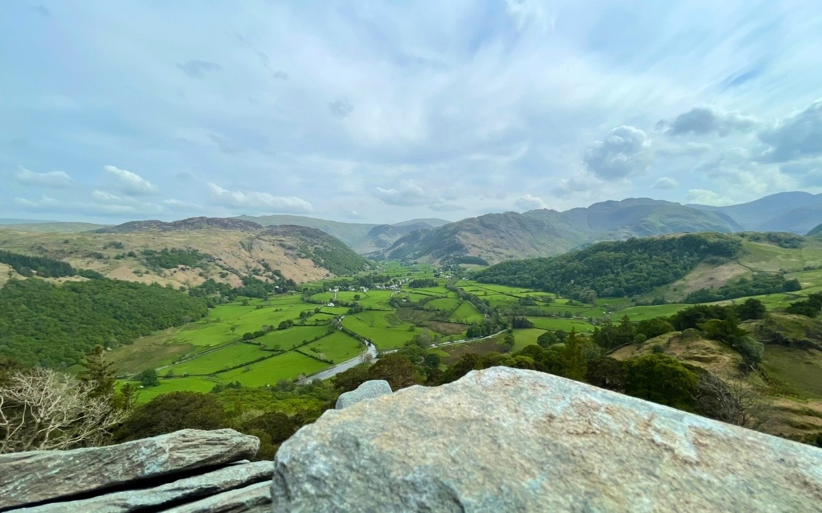
The Return Walk (In Reverse): If you have extra energy, retrace your steps in reverse. Walking south towards the Borrowdale volcanic peaks reveals an entirely different lighting perspective on the valley walls.
Find Accommodation
Looking for the perfect base for your next Lake District adventure? From traditional coaching inns and cosy village B&Bs to lakeside hotels with dramatic fell views, find the best places to stay in Keswick and the surrounding valleys. Search real-time availability, compare top-rated stays, and book your getaway
Safety, Navigation & Countryside Code
- Footwear: Wear sturdy walking boots or trail shoes with deep-lugged soles (e.g., Vibram). The river path features wet, mossy tree roots and slick river slate that can become hazardous when wet.
- Navigation & Phone Battery: Mobile signal is patchy or non-existent in deep sections of Borrowdale. Pre-download offline maps (such as OS Maps or GPX tracks) and carry a fully charged phone or power bank.
- River Hazards: Never attempt to follow the low riverbank path if the River Derwent is in high spate following heavy rainfall or storms; stick to the higher bridleway (Option A) instead.
- Leave No Trace: Borrowdale is a working agricultural valley and a designated UNESCO World Heritage Site. Keep all dogs on leads around sheep and cattle, leave every farm gate as found, and take all litter home with you.
Disclaimer
Walking & Mountain Safety Notice: > The route described above includes unmanaged, unmaintained, and informal footpaths where trail surfaces, river levels, and vegetation density change across seasons and weather conditions. Fell, trail, and riverside walking in the Lake District National Park involves inherent risks of slip, trip, fall, and changing weather. Lake District DNA provides this guide for informational and inspirational purposes only and accepts no responsibility or liability for any injury, loss, damage, or incident sustained while following this route. Walkers are entirely responsible for their own safety, physical preparation, navigation, and assessing ground conditions on the day.
Explore More of the Lake District
Braithwaite Dam: Local Gem – Discover this tucked-away woodland weir and rushing fell stream in the Coledale Valley
Skiddaw Walking Route Via Jenkin Hill – Conquer England’s 4th highest peak
Signs of the Lake District Gallery – Explore local boundary markers, heritage plaques & trail signs